Intro to Open Mapping
OpenStreetMap is a volunteer driven map of the entire world. Anyone can contribute, and anyone can use the data. The focus is on infrastructure, like roads and buildings, services, and land use. The maps can be updated very fast, by large numbers of volunteers from around the world, making them extremely suited for humanitarian and development applications.
Learn more About Open Mapping and Why Mapping Helps on the main MapGive site.
MapGive Capabilities
The MapGive program provides a number of capabilities to assist Posts in public diplomacy through Open Mapping, and support the OpenStreetMap community.
- Fill gaps in satellite imagery through Imagery to the Crowd.
- Share knowledge in event organization.
- With deep links in the OpenStreetMap and humanitarian response communities, connect with the global network.
- Utilize technical and analysis services, like events statistics and visualizations.
Learn more in Process from Start to Finish.
Types of MapGive Engagements
There are two main kinds of MapGive engagements.
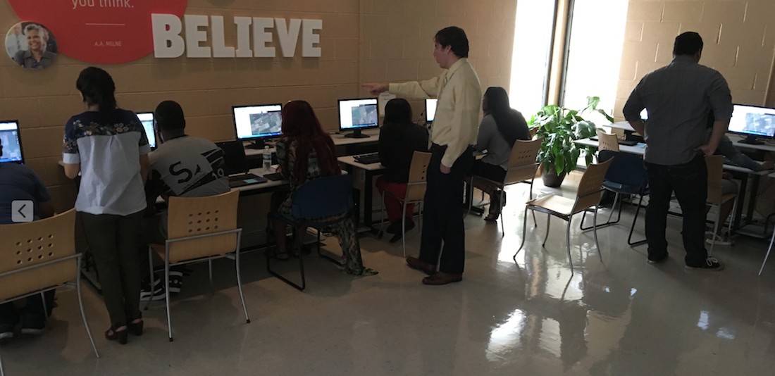
Mapathons are hours long events, where volunteers create map data from computers, typically by “digitizing” satellite imagery. These events are social and fun, and focused on doing good together. Often the maps are created for a humanitarian need in a remote site from the event, in another part of the globe. Mapathons can focus on map needs locally too.
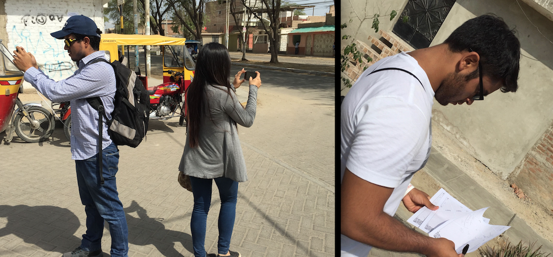
Field Projects are typically more intensive activities, where the focus is on surveying and data collection in the field. There are limits to how much can be mapped from sitting and looking at satellite imagery. Tools employed range from GPS units to mobile phone apps to paper. Field projects will take much more investment in logistics and training, but the result will be data of much greater depth, accuracy and local knowledge.
Get Started
From here, it can be very helpful to read about how MapGive has been implemented in Case Studies.