Lahore Mapathon
What happened?
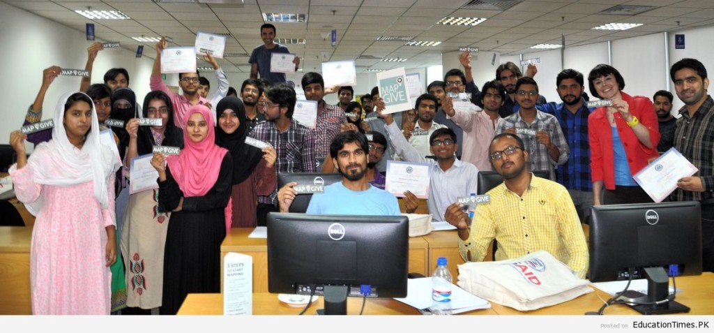
Forty-one students volunteered their time today for a mapathon organized by the U.S. Consulate General in Lahore in collaboration with the Information Technology University Lahore. The students used open mapping technology to create maps of roads, bridges, and buildings that assisted international response efforts in Nepal in the wake of recent earthquakes.
What were the outcomes?
In just three hours, these citizen cartographers edited more than 4,000 roads and buildings via OpenStreetMap. The event gave Pakistani students an opportunity to interact with open mapping experts in Washington, D.C. and learn about the important relationship between maps and humanitarian aid.
Post interacted with local youth. Public Affairs Officers had a time to explain to the young students how the United States is helping humanitarian efforts in the region and how students can participate right from their desks. The event helped drive the post’s social media outreach activities resulted in an increase of youth engagement.
The Mapathon was covered in local media, on blog posts and social media. The consulate and the university released press releases.
More images of the event can be found here.
Who were the participants?
- 41 university students
- 1 international humanitarian worker (from UKAid)
- 2 Social Media celebrities (to give a social media boost)
- 2 experienced mappers
- 1 Alum from Rutgers University
- 2 University Professors
What did it take to organize?
The Consulate works with MapGive team, who help facilitate planning and organizing the event. And the MapGive team participated in a discussion with young students over a video link.