Select a Project
PMP-Asia Pacific Hub Nepal Tasks
author: Kathmandu Living Labs, MapGive
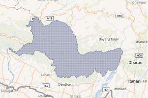
Udayapur District Mapping
Udayapur district lies in the eastern part of Nepal and is one of the 14 districts of Province 1 and covers an area of 2063 km2, and according to the 2021 Census, is home to over 340,000 people. There are frequent reports of disasters like floods and landslides each year with several casualties, and damaging infrastructure and crops. The participants will map roads, buildings and land cover of the area remotely. The data created will have several applications for different purposes like preparing resource maps, disaster preparedness and response, and more.
Siraha District Mapping
Nepal’s Siraha district is one of the 8 districts of Madhesh province and covers an area of 1,188 sq. km, and according to the 2011 Census, is home to over 850,000 people. There are frequent reports of disasters like floods and landslides each year with several casualties, damaging infrastructure and crops. The participants will map roads, buildings and land cover of the area remotely. The data created will have several applications for different purposes like preparing resource maps, disaster preparedness and response, and more.
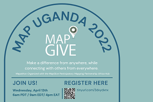
Mapping for Flood Resilience
author: MapUganda, MapGive, Youth Mappers
In recent months, Lake Victoria has experienced rising water levels that have caused significant flooding impacts on the Lake Shoreline communities in Kenya, Tanzania, and Uganda as well as downstream communities near Lake Kyoga and Lake Albert.
This rise has been attributed to adverse climate change effects prolonging the rainfall cycles and has caused significant flooding impacts on the Lake’s shoreline communities as well as downstream communities near Lake Kyoga and Lake Albert. Shoreline communities and businesses in low-lying areas in Uganda and Kenya have been severely affected, and communities displaced. In addition, infrastructure has been damaged or made inaccessible while crops are being washed away.
Therefore, through mapping, the OpenStreetMap Uganda community and its partners around the world including MapGive, YouthMappers, will be combining efforts to generate data products such as household locations, access road networks, community farmlands, key installations, and maps that will be shared by the intervening organizations, communities, and local governments for planning and response purposes. More so, the data collected will be accessed freely thereby benefitting academia and researchers locally and internationally.
Project Links
Beginner
MAPPING FOR FLOOD RESILIENCE - BUSIRO, WAKISO DISTRICT
MAPPING FOR FLOOD RESILIENCE - LUKAYA TOWN, KALUNGU DISTRICT
MAPPING FOR FLOOD RESILIENCE - NANGO TOWN, MAYUGE DISTRICT
Intermediate/Advanced
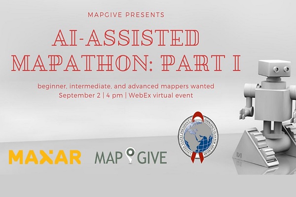
AI-Assisted Mapathon Nigeria
author: PEPFAR, MapGive, Maxar
The MapGive team held a mapathon and partnered with Maxar to explore different AI technologies that can help make mapping easier and faster. In addition, our partner The President’s Emergency Plan For AIDS Relief (PEPFAR) has identified mapping needs around clusters of health facilities in Nigeria where filling in holes in the map with publicly accessible open data can help local humanitarian and development activities.
Project Links
Beginner
Nigeria Floating Roadways
Nigeria - Possible Bridges
Intermediate/Advanced
Lagos, Nigeria Urban Mapping
Ibadan, Nigeria Urban Mapping
Kano, Nigeria Urban Mapping
Advanced
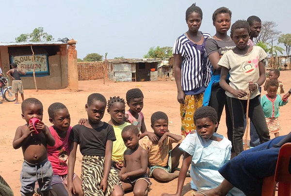
Saurimo City, Angola
author: PEPFAR, MapGive, USAID
This mapping project in Angola focuses attention into rural provinces with very limited geographic information, in order to better expand programming. Understanding where communities are located, their size, and how they are connected by roads is essential to understanding where to place HIV/AIDS services.