Cusco Field Project
What happened?
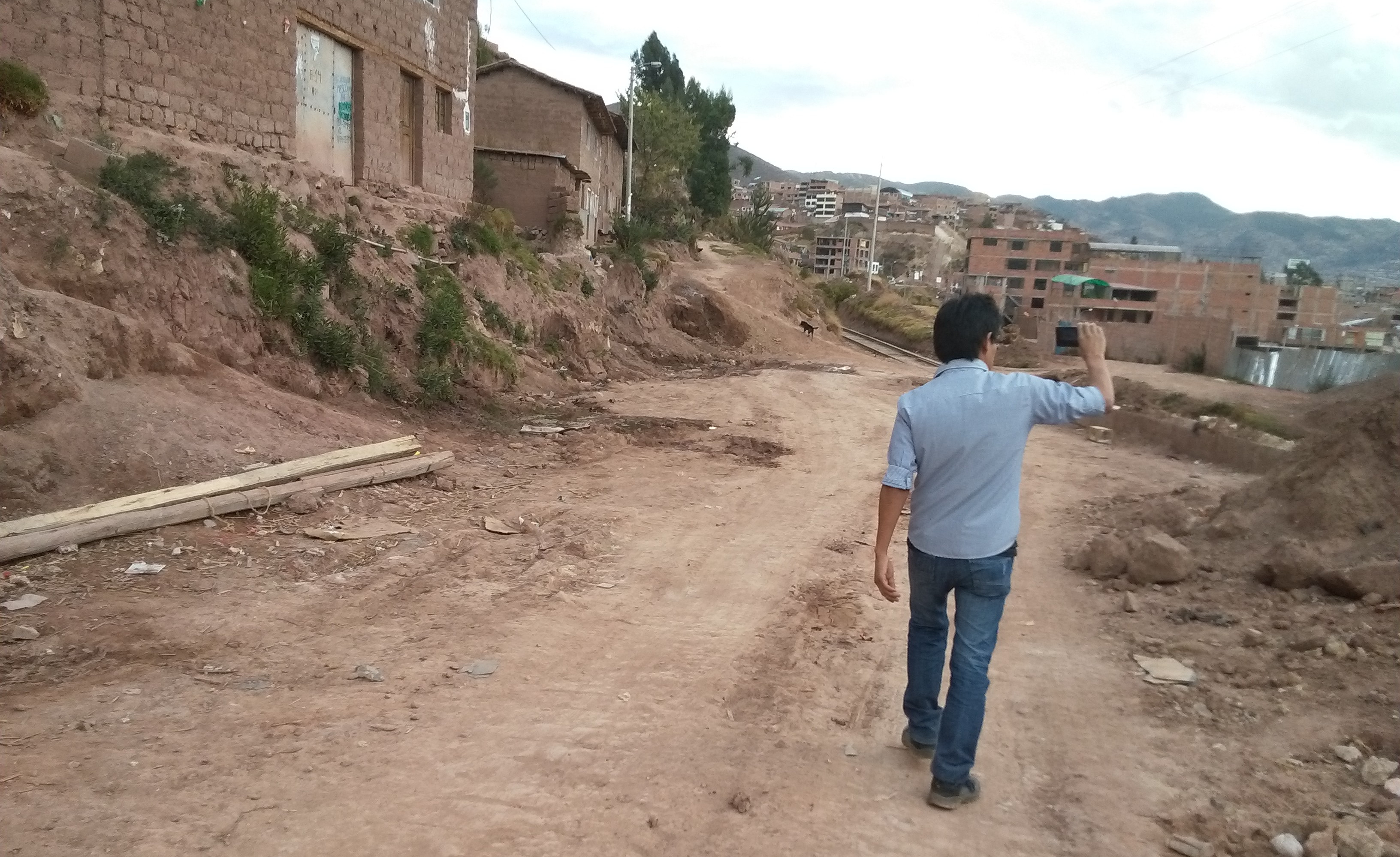
The MapGive OpenStreetMap Workshop was run on August 22-23 in Cusco, Peru, as part of collaboration between the Universidad Nacional de San Antonio Abad del Cusco and the Secondary Cities initiative, as well as MapBox Ayacucho. The participants were a mix of Peruvian university students and government professionals working in Cusco, a secondary city experiencing rapid urbanization.
As a collaboration between the State Department’s MapGive and Secondary Cities initiatives, the MapGive Field Mapping Project was designed to build geospatial mapping capacity in support of disaster preparedness and urban sustainability.
The project aimed to enable local partners to update and improve the map of Cusco, Peru, to enhance resilience, emergency preparedness, and human security. During the weekend, the field surveying focused on mapping infrastructure and their key attributes in areas of recent urban growth in Cusco.
The Cusco MapGive Workshop introduced field data collection techniques in OpenStreetMap (OSM), using OpenMapKit and FieldPapers; editing in OpenStreetMap; and use of OpenStreetMap data in GIS. OpenStreetMap is a mapping platform designed for data sharing and collaboration.
What were the outcomes?
The workshop exemplified the potential for utilizing geospatial science as a mechanism for diplomatic engagement, in line with the 2015 Quadrennial Diplomacy and Development Review.
At the end of the workshop, over 700 road and 2500 building features had been added to the OpenStreetMap database, generating data of previously unmapped urban growth that will assist in building resilience to natural disasters and sustainability managing urban growth.
Through the project, Peruvian university students and government professionals gained hands on experience with open source geospatial tools, simultaneously building long term parnterships and local capacity by harnessing advanced technology to address local priorities.
The maps generated serve as decision making tools not only for disaster resilience but also for climate change adaptation and urban sustainability. A Cusco mini-site was created to post materials used in the workshop.
Who were the participants?
The participants were a mix of Peruvian university students from the Universidad Nacional de San Antonio de Abad del Cusco and government professionals, whose studies and work priorirites related to the themes of resilience, emergency preparedness, and human security.
What did it take to organize?
As MapGive’s pilot field mapping project, the organization and workflow of the project are well represented by the Start to Finish section of MapGive in a Box.
Two members of the MapGive team coordinated with a local university professor to secure a lab space and develop itinerary and materials, three weeks in advance of the workshop. During the workshop, two members of the MapBox Ayacucho team both participated in and assisted with the workshop, by providing a local perspective and using their expertise to engage with the participants. Post helped with the logistics to arrange for catering and translations/translators.