Determine the Need
The key draw for Posts and for participants to get involved in mapping, is to contribute towards making an impact on critical issues. The activity itself is enjoyable and educational. However the immediate creation of data to support humanitarian and development missions, is what makes these experiences unique.
This section gives you ideas when thinking through potential applications and adaptation to local context.
Identify Your Challenges
Mapping has wide applications: disaster preparedness and response, urban planning, monitoring conservation areas and deforestation, assessing cultural and archeological sites, education, logistics of medical supply, and many many more.
Examining strategic priorities at your Post, and long and short term issues facing your region, there are going to be many possibilities for mapping. Create space to brainstorm and facilitate ideas from across different functions in Post. Partners can be excellent sources for mapping ideas. From a set of potential ideas, the MapGive team can help to identify what kinds of projects are feasible with OpenStreetMap tools and communities.
As a public diplomacy and humanitarian tool, there are circumstances where mapping is not appropriate. For instance, conflict issues raise numerous sensitivities that might disqualify a MapGive engagement.
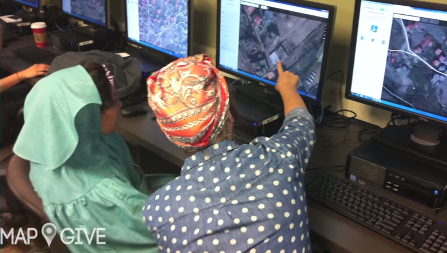
It’s certainly possible to organize to contribute to a need somewhere else in the world. The humanitarian community is always responding somewhere, and there will be a need for map data.
Adapting to Local Context
Especially when mapping in the field, considerations of the local context are critical. What locations and set of partners are ideal to support a more in depth project? Excellent trust relationships with the communities being engaged and mapped are necessary. Consider the level of government presence, the access to technology, and capacity and education levels to work with these tools. Work to take a facilitative posture, allowing participants to take the lead on what to map, and in fact, whether to map at all.
For deeper engagements that require a greater investment in time and resources than a single mapathon, look for partners for support. Particularly important is building a good trust relationship with local communities. It is crucially important to allow communities to take the lead and make decisions on what to map (or whether to map at all).
Developing a Project
Once a need and method are identified, look at exact kind of features to collect. Roads and buildings are the common base infrastructure mapped, especially when mapping remotely using satellite imagery. With local knowledge, it’s possible to collect things like schools, clinics, government offices, markets, transportation infrastructure, cultural sites, recreation areas, agricultural land use, etc.
In some cases, existing aerial imagery available to OSM may not be sufficient. There may be no imagery, or more up to date imagery is necessary. In this case, consider making an Imagery to the Crowd request.
Also, there may be existing data, from government or civil society, which could be incorprated in the mapping project. The MapGive team can help evaluate whether other data sources are permissable and useful for import into OpenStreetMap.
Open Data and Sustainability
Open Data is a global movement to make the information and representations of our world much more shared and accessible. Often the focus is on the release of data held by government for use by all citizens. MapGive and OpenStreetMap take it further, allowing for anyone to contribute Open Data. Everyone is an expert on their own life and community, and with the proper tools, they can make a contribution. When thinking through Open Data, it’s vital to note the opportunities and risks of sharing data, and take appropriate precautions. In OSM, only common, visible infrastructure, land use, and services are shared, not private data. And in some circumstances, with vulnerable populations, the community might choose to be more selective.
Partnerships and building a strong network around mapping activities is key. In fact, a major benefit of OSM is how it easily allows collaborations between different institutions, because the data is so open.
Mapping projects can be seen as one point along a process. The data is not an end point in itself, but a tool to achieve some other impact. Think through approaches to sustaining the activities and opportunities from the onset. This is where partnerships are especially critical.