Participatory Mapping Partnership Africa Hub Mapathon
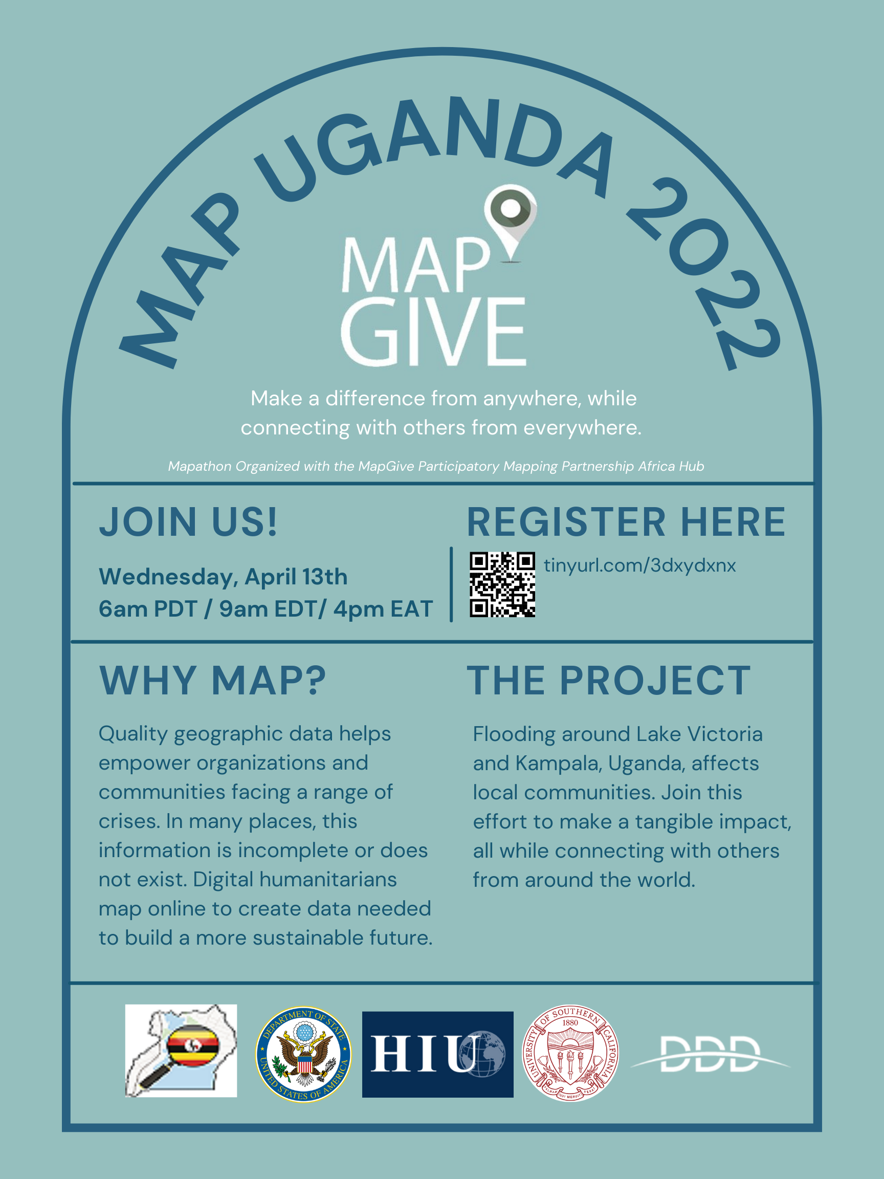
The U.S. Department of State’s MapGive hosted a “mapathon” with its Participatory Mapping Partnership Africa Hub as part of our public diplomacy initiative to engage individuals to map in support of humanitarian and development efforts - it took place on April 13th from 09:00-11:00 am eastern time/ 06:00-08:00 pacific time / 16:00-18:00 pm east africa time. This event was a collaboration with MapUganda, Digital Data Divide, the University of Southern California’s Annenberg School for Communication and Journalism, and various YouthMappers chapters, to bring people together worldwide to map communities affected by flooding in Uganda. The data created from this effort will be open-source and then used to support local development and humanitarian aid efforts in the region.
Event recording:
Slides:
Participatory Mapping Partnership Africa Hub Poster